
![]()
|
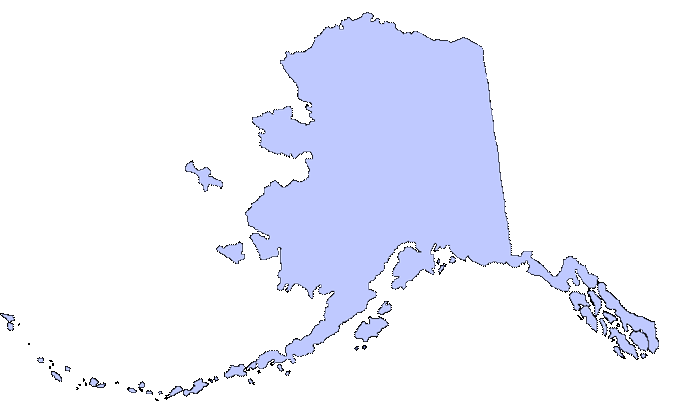
Just click the buttons below to turn different portions of the map on and off! |

![]()
|
Contents
Home Background The Debate List of Terms List Map Zoom In Statistics Links References |
|
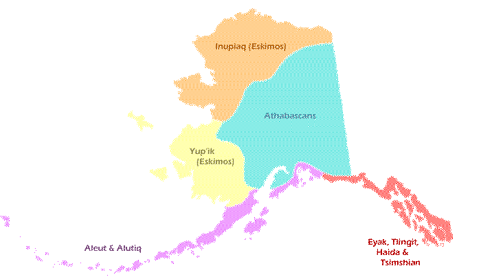
Native People
This shows the distribution and native lands of Alaska's Native People.
View these terms to learn more:
|
|
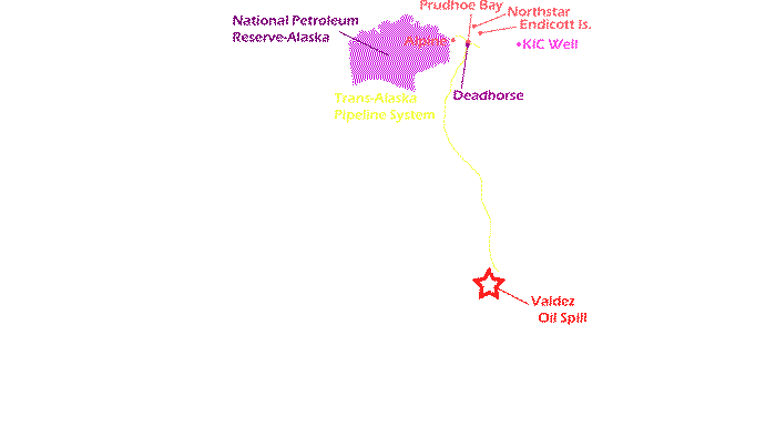
Oil Development
This shows where major oil fields are located in the north, along with the Petroleum Reserve and Trans-Alaskan Piepline.
View these terms to learn more:
|
|
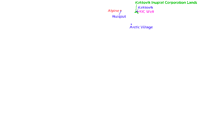
Native Towns
This shows where native owned towns and lands are. View these terms to
learn more:
|
|
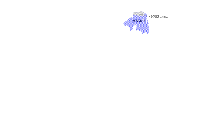
ANWR
This shows the area that ANWR covers as well as the disputed 1002 area. |
|
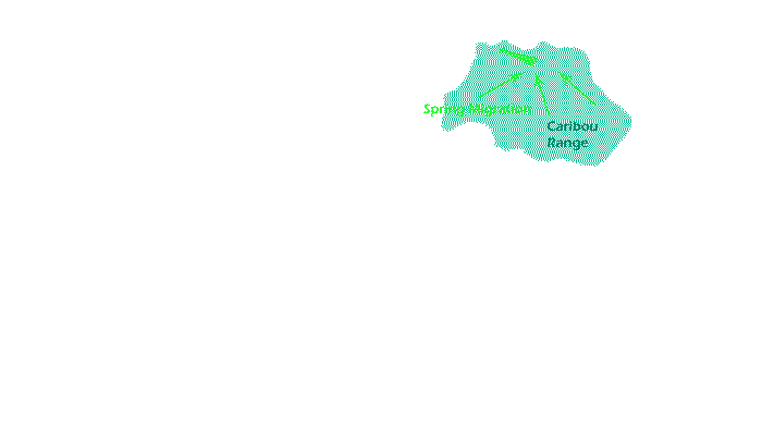
Caribou Range
This shows the range over which the Porcupine Caribou Herd migrates as well their Spring migration to the calving grounds. View these terms to learn more:
|
|
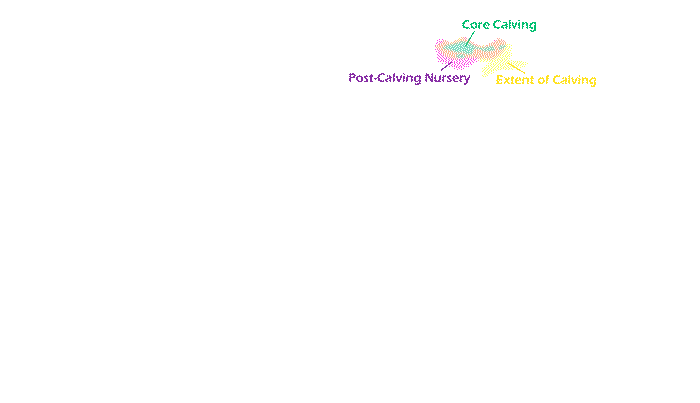
Calving Grounds
This shows the calving and nursing grounds for the Porcupine Caribou Herd. The core calving grounds are the areas of dense calving while the Extent of Calving area shows the entire region of calving. The Post Calving Nursery is where the cows and claves remain for the season. View
thise terms to learn more:
|
|
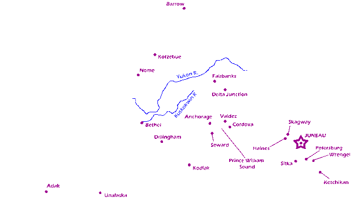
Major Cities
This displays the major cities and Rivers of Alaska. |
|
Northern Oil Wells
This shows the approximate distribution of oil wells in the north. It includes producing, exploratory, and planned well. View these terms to
learn more:
|